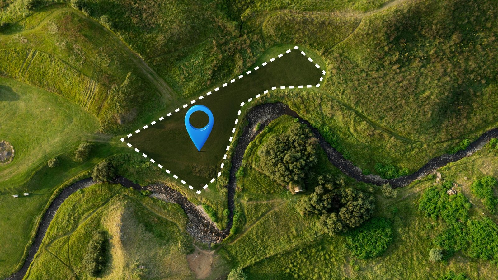
Loading...
About Anvi Geo Tech

Seamlessly integrate your data into powerful visual formats.

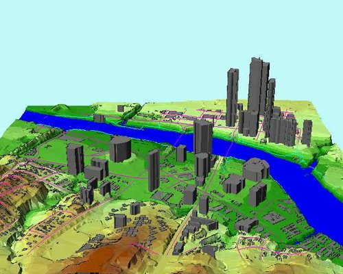
Anvi GeoTech is a technology-driven GIS services provider dedicated to delivering high-quality and innovative Geographic Information System (GIS) solutions. Our experienced technical staff is committed to transforming the way organizations utilize their information resources. We specialize in designing and deploying tailored GIS solutions that empower our clients to maximize their data's potential across various sectors.

years' experience

15

+

clients globally

80

+

projects successfully

100

+

professionals

100

+

Our Services
We pride ourselves on our ability to deliver innovative GIS solutions that not only meet but exceed our clients' expectations. Our services include:
Image

AERIAL MAPPING

  • Aerial Photo Mapping
  • Aerial LiDAR Mapping
  • Airborne Geophysical Mapping
  • 3D City and Feature Modeling

Explore More
Image

REMOTE SENSING

  • GIS Database creation and Integration
  • Auto DEM Extraction
  • Pansharpening
  • Image Mosaicing

Explore More
Image

DIGITAL PHOTOGRAMMETRY PROCESSING

  • Topographic/Planimetric Mapping and Updating
  • Aerial Triangulation for Aerial Photos/Exterior Orientation(EO) for Satellite Imagery

Explore More
Image

LIDAR POINT CLOUD DATA PROCESSING MAPPING

  • Digital Terrain Modeling and Contour Generation
  • 3D City and Feature Modeling
  • Asset Management (Power line, Pipeline, Highways)
  • Heritage, Tunnel and as-built mapping

Explore More
Image

UAV MAPPING

  • Disaster management
  • Corridor Mapping - Road, Rail, Powerline, Pipeline, Canal

Explore More
Image

GPR

  • Topographic/Planimetric Mapping and Updating
  • Aerial Triangulation for Aerial Photos/Exterior Orientation(EO) for Satellite Imagery

Explore More
Image

DSM/DTM Creation & Evaluation

  • Topographic/Planimetric Mapping and Updating
  • Aerial Triangulation for Aerial Photos/Exterior Orientation(EO) for Satellite Imagery

Explore More
Image

GIS MAPPING & DATA CONVERSION

  • Topographic/Planimetric Mapping and Updating
  • Aerial Triangulation for Aerial Photos/Exterior Orientation(EO) for Satellite Imagery

Explore More
Image

IT/ENGINEERING

  • Topographic/Planimetric Mapping and Updating
  • Aerial Triangulation for Aerial Photos/Exterior Orientation(EO) for Satellite Imagery

Explore More
Why Choose Us

Why Choose Anvi Geo Tech?

Experienced Professionals

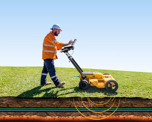
Our experienced field surveyors bring domain expertise and practical skills to every project, ensuring accurate results and adherence to technical and client standards.

Modern Equipment & Technology

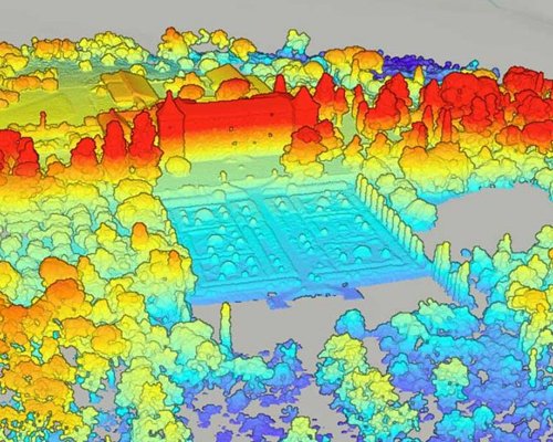
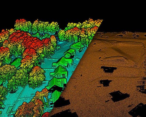
We use advanced tools like ETS, GPS/DGPS, and ERT to capture precise data, minimize errors, and speed up delivery—ensuring your projects rely on accurate geospatial intelligence.

On-Time Project Delivery

Timely execution is central to our project management. We know delays cost time and money. Our defined workflow ensures efficient surveys and on-time delivery. Quality and accuracy are never compromised.

Client-Focused Approach

At Anvi Geo Tech, we prioritize each client through clear communication, transparency, and tailored solutions—ensuring your goals are met with precision and professionalism.